
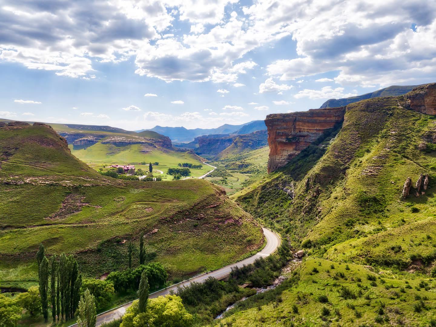
Friday 4 December · 12 runners · one relay
RandburgtoClarens
230 km on foot in 24 hours, through the night and into the mountains. Every kilometre raises money to upgrade the gym.
- on foot
- 230km
- on foot
- non-stop
- 24hrs
- non-stop
- runners
- 12
- runners
- high point
- 2,002m
- high point
Starts in
What it takes
6:16
minutes per kilometre
That’s the average pace to get 230 km done in 24 hours, changeovers included. Not for a parkrun. For a whole day and a whole night.
- each, on average, running in 6 pairs
- ±38 km
- each, on average, running in 6 pairs
- of climbing on the way to the mountains
- 1,500 m
- of climbing on the way to the mountains
- Randburg to Clarens by road, the first 155 driven
- 385 km
- Randburg to Clarens by road, the first 155 driven
Live on the day
Follow the run as it happens
Live tracking starts with the run
As soon as the team sets off on Friday 4 December, you'll be able to follow them here: where they are, which pair is running and how far they've come.
The route
Stop by stop to Clarens
The N1 out of the city, the R57 down through the Free State, then the R712 into the mountains. Scroll to follow the runner.
Route © OpenStreetMap contributors · Elevation: Open-Meteo
The start
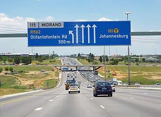
Randburg
We leave the gym in Randburg and drive the first stretch down the N1, out of the Joburg traffic and over the Vaal.
155 km in, by road
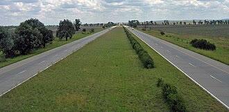
Feet on the road
Just north of Heilbron the first pair steps out. From here to Clarens, nothing moves forward unless somebody is running: 230 km of it.
8 km on foot
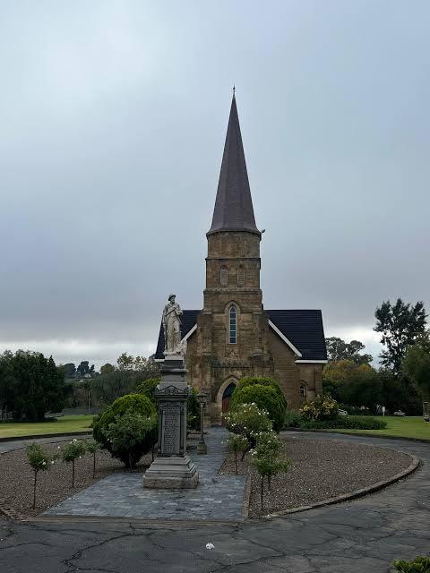
Heilbron
Through Heilbron and onto the R57. Fresh legs, the whole team still chatting, and a very long way to go.
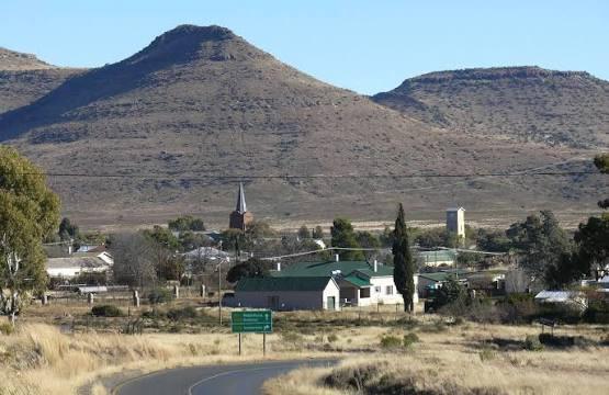
53 km on foot
Petrus Steyn
Open Free State farmland as far as you can see. The relay finds its rhythm: run your leg, back in the van, recover, go again.
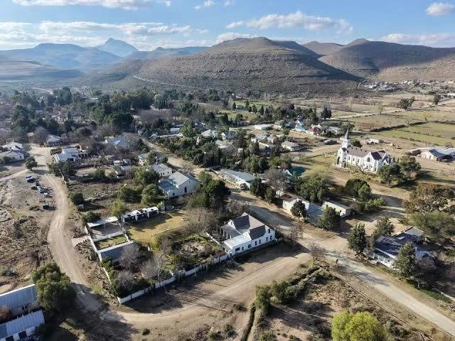
89 km on foot
Reitz
More than a third done. The R57 keeps heading south east, and the ground starts rising towards the mountains.
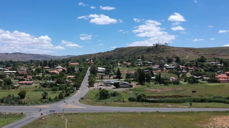
157 km on foot
Kestell
The Maluti mountains fill the horizon. Legs are heavy now, and this is where the team has to carry each other.
185 km on foot
Onto the R712
Off the R57 and west onto the R712, the last road of the trip. It climbs to about 2,000 m above sea level, the highest point of the run.
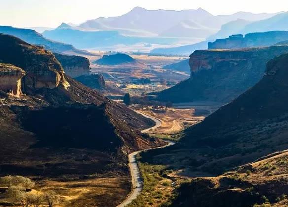
208 km on foot
Golden Gate
Through Golden Gate Highlands National Park, between the sandstone cliffs. Twenty-odd kilometres left, and the best views of the whole day.
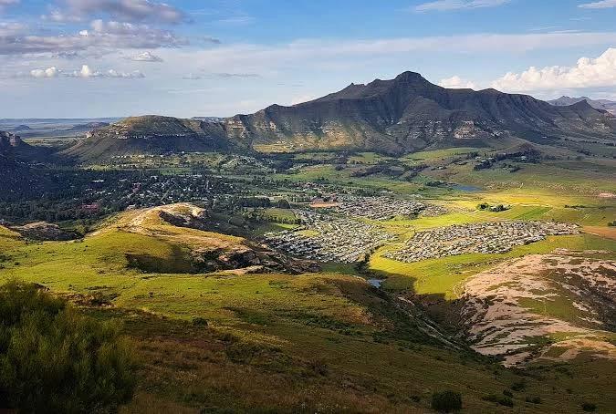
230 km on foot
Clarens
The finish line. 230 km, 24 hours, 12 runners, and one very tired team.
Elevation
Uphill to the finish
The run starts on the Highveld at about 1,550 m and finishes in Clarens near 1,800 m, with the hardest climbing saved for the end.
- Climbing
- 1,500m
- High point
- 2,002m
The team
12 runners, one relay
These are the legs carrying it to Clarens. They run in pairs, taking turns through the day and the night, about 38 km each, until they get there.
- FTSA24hr challenge
01
English Dan
- FTSA24hr challenge
02
Matt
- FTSA24hr challenge
03
Richard
- FTSA24hr challenge
04
Dean
- FTSA24hr challenge
05
Luke
- FTSA24hr challenge
06
Claude
- FTSA24hr challenge
07
Rody
- FTSA24hr challenge
08
Mark
- FTSA24hr challenge
09
Mirek
- FTSA24hr challenge
10
Brad
- FTSA24hr challenge
11
Ali
- FTSA24hr challenge
12
Nick
From the road
24 hours, remembered
The photos, clips and moments from the run will live here.
Photos and video from the road
These start going up as soon as the run begins on Friday 4 December, and stay here afterwards.
Watch
Hear it from the gym
Burpee Day, the run to Clarens, and why we do it, in a couple of minutes. Watch it, then pass it on.
Why we do it
Where the money goes
Everything raised goes towards upgrading the gym and buying new equipment, the kit you train with every week.
Every little bit makes a difference. The minimum is R5, and you can give any amount you like above that.
Help us spread the word
Send this page to anyone who might want to chip in. The more people see it, the further it goes.
Share on WhatsApp